My friend Graeme Chappell and I decided to have a wander around Thompson’s Rigg. We followed the Old Wife’s Way from Horcum, dropping down along Newgate Brow into the valley below.


We crossed the fields to take a look at the standing stones at the foot of Blakey Topping. These stones have been interpreted as a possible ruined stone circle.


After spending some time at the stones we walked onto Thompson’s Rigg. The Rigg is only a mile long, its flanks slope down into the valleys of the Grain Beck to the East and Crosscliff Beck to the west. The moor is surrounded on three sides by higher ground and gently slopes to the south where it narrows to form a valley which eventually leads to Langdale End and Howden Hill, a hill very similar in appearance to Blakey Topping.


About a third of the way along the Rigg the trackways bends, at this point, running diagonally to the trackway, is a cross ridge boundary. The boundary is a banked structure that bisects the full width of the moor and is topped, in parts, with large stones. The official scheduling for the area states that, Although this boundary forms part of the post-medieval field boundary system in the area, it is considered to incorporate elements of an earlier construction which had origins in the prehistoric period, contemporary with the cairnfield. source
In his book Early Man in North East Yorkshire Frank Elgee wrote, A wall of upright stones crosses the Rigg between the farm and the barrows, he also includes the boundary on his map of the area

It is curious that despite the earthwork being mentioned in the official scheduling of the area and despite it defining the the northern limit of the cairnfield and barrows and its close resemblance to other moorland cross ridge boundaries, this significant structure does not appear in either Don Spratt’s 1993 or Blaise Vyner’s 1995 inventories of the cross ridge boundaries of the North York Moors.


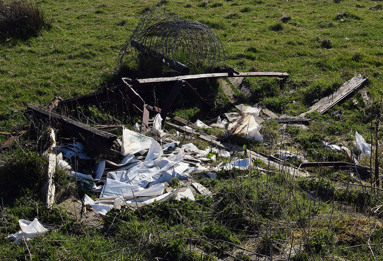
South of the large boundary earthwork we started to encounter many cairns, most are in deep heather and difficult to define, at least one of this group appears to be a large ruined barrow.


We continued south, traipsing through the deep heather to a grassy area containing a beautiful Platform Cairn. Platform Cairns are rare on the North York Moors, they are defined as, A roughly circular monument featuring a low, more or less level platform of stones surrounded or retained by a low stone kerb. Some may feature a small central open area, thus resembling a ring cairn. Source.
There is a large stone and hollow in the middle of the cairn implying a possible ruined cist, it is evident that this cairn had been excavated in the past. Graeme reminded me that we were only seven miles from Pickering, once home to James Ruddock.
James Ruddock was a nineteenth century commercial barrow digger. Between 1849 and his death in 1859 he opened many of our moorland mounds in search of finds to sell to the gentleman collectors of his time. His main client was the antiquary Thomas Bateman, he also opened barrows for Samuel Anderson of Whitby.
Unfortunately Ruddock did not always keep precise notes regarding the locations of his diggings, many of his finds have ended up in our museums with vague labels such as, from a mound 6 miles north of Pickering.

Moving further south we encountered this lovely, fairly well-defined ring cairn.

On the south eastern flanks of the Rigg is a group of hollow ways, these are not considered to be prehistoric.


At the southern end of the Rigg is this orthostatic wall which contains many large stones, some of which appear to be buried into the ground. If the wall contained unburied stones it would be classed as a boulder wall. The walling is definitely not prehistoric but may contain stones from an earlier feature.


Not far from the walling is this three foot high standing stone, located within an area of low banks and cairns at the southern end of the Rigg.

Blakey Topping and Thompson’s Rigg are well worth a visit, There is a wealth of prehistoric remains to be seen within a relatively small area. The area is owned by the National Trust and is not managed for grouse so has a mixture of habitats, we saw plenty of birds including Skylarks, Snipes and what I think were a large flock of Fieldfares.
If you visit this lovely place, what you’ll undoubtably notice is that wherever you are on the moor, Blakey Topping is the dominant landscape feature. Graeme and I agreed that this beautiful hill probably had a deep significance to the original inhabitants of this area. A sacred hill? perhaps even a sacred landscape?
Resources
Early Man in North East Yorkshire. Frank Elgee. 1930
Orthostatic Field Walls on the North York Moors. D A Spratt. YAJ Vol. 60. 1988
Linear Earthworks of the Tabular Hills, Northeast Yorkshire. D A Spratt. 1989
Prehistoric and Roman Archaeology of North-East Yorkshire edited by D A Spratt. 1993
CBA Research Report 101: Moorland Monuments’ in The Brides Of Place: Cross-Ridge Boundaries Reviewed, B Vyner. 1995
OS Map – The National Library of Scotland
Postscript
To illustrate Graeme’s comments


 ..Nor will it appear at all surprising that this semi-mundane, or semi-egg-shaped hill, and the excessively dreary and secluded moor on which it stands should have been seized on, and consecrated by the Druids for the performance of their mysterious, mistaken and cruel rites. Possibly, however, this now wholly heath-clad moor might have been, in their time, partially enlivened by waving groves; especially about this hill, and the rising brow of Cross Cliff.