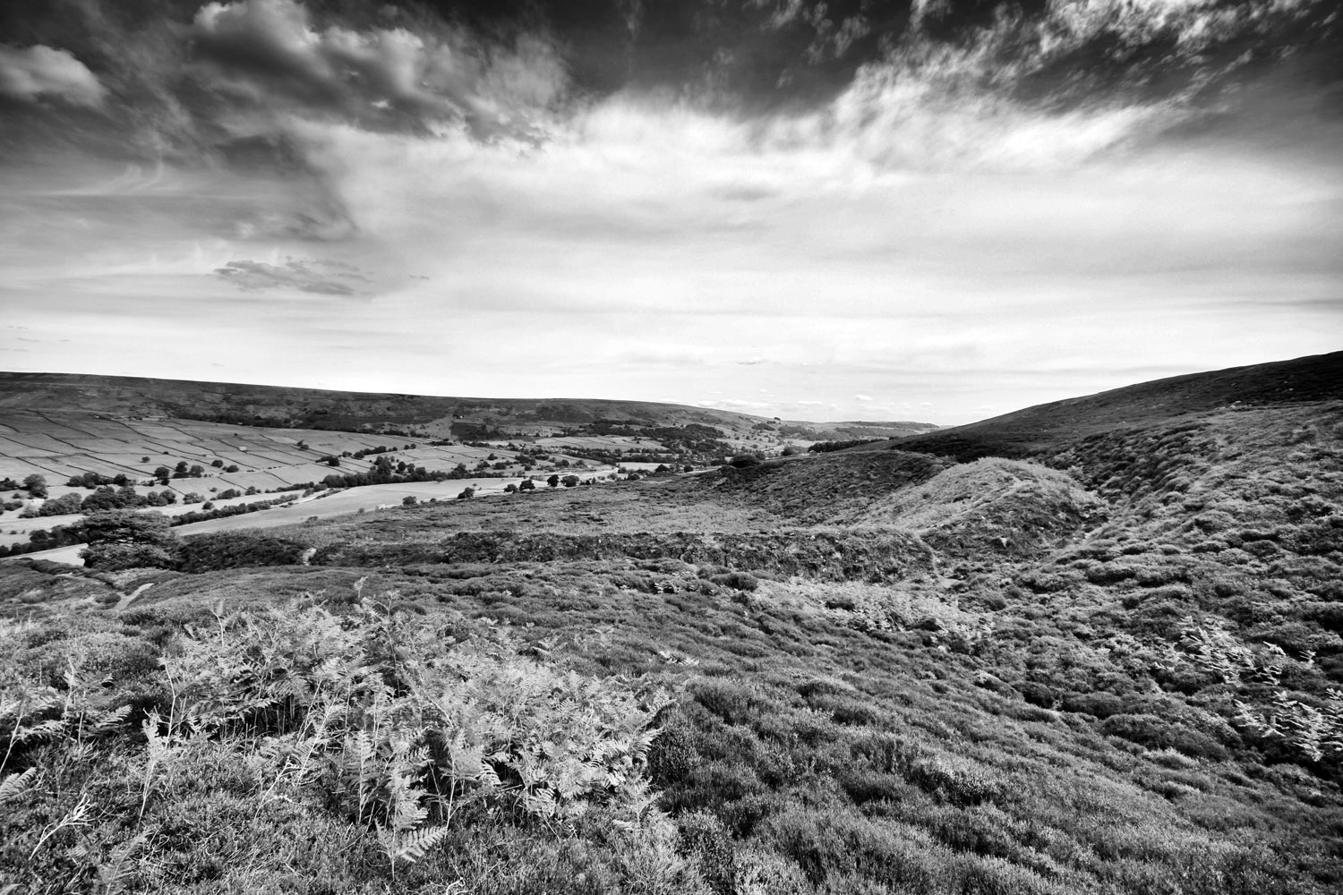
I took a walk around Brimham with Graeme Chappell. Graeme has been spending a lot of time in this area. Read about some of his research and wanderings here Arcanum


Monuments can be landscapes and landscapes may be monuments.
Richard Bradley
I took a walk around Brimham with Graeme Chappell. Graeme has been spending a lot of time in this area. Read about some of his research and wanderings here Arcanum
Monuments can be landscapes and landscapes may be monuments.
Richard Bradley


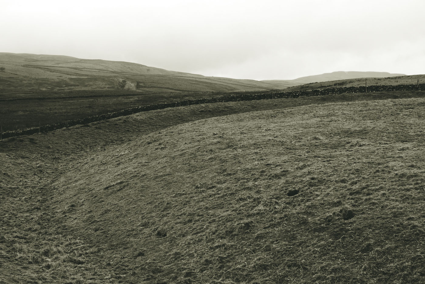
Langstrothdale – ‘Long Marsh’
Yockenthwaite – ‘Eogan’s Thwaite’
Wharfe – ‘Winding River’
From the river-name is derived Verbeia, the name of the deity, found in a Roman inscription at Ilkley.
The Concise Oxford Dictionary of English Place-Names. Eilert Ekwall
Research on Verbia – Dreamflesh


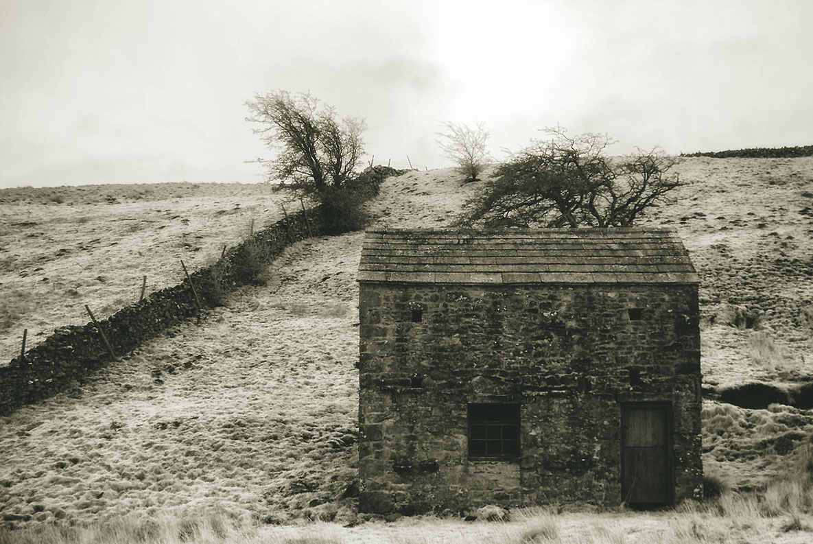
I’ve visit Maiden Castle a number of times, every time I visit I come away a little more confused.

The site is cut into the side of High Harker Hill, above an old Corpse Road, if you weren’t aware of its location you would be unlikely to stumble across it.

There are two long barrows/cairns associated with the enclosure, one is located on high ground to the west of the site, the other is at the eastern end of a massive stone avenue. The barrows are thought to be late Neolithic/Bronze age in date


Two linear mounds of stone up to 1.5m high form a unique feature, an avenue which runs for over 100m from a large ruined barrow to the entrance of the enclosure.


The enclosure ditch is up to 4m deep in places with the bank rising between 4-5m above the ditch. The counterscarp on the south side of the enclosure rises above the rampart top. This means that it is possible to overlook the enclosure from the outside implying that the enclosure was not built for defence.


Inside the enclosure there are two circular settings that are thought to be hut circles. A recent geophysical survey has revealed other possible hut circles within the enclosure. There is also small cist visible within the centre of the structure.

Due to its uniqueness and the lack of any dateable material, Archaeologists are unable to suggest a definitive time period for the monument. A date range from the Bronze Age to Romano-British period has been suggested.
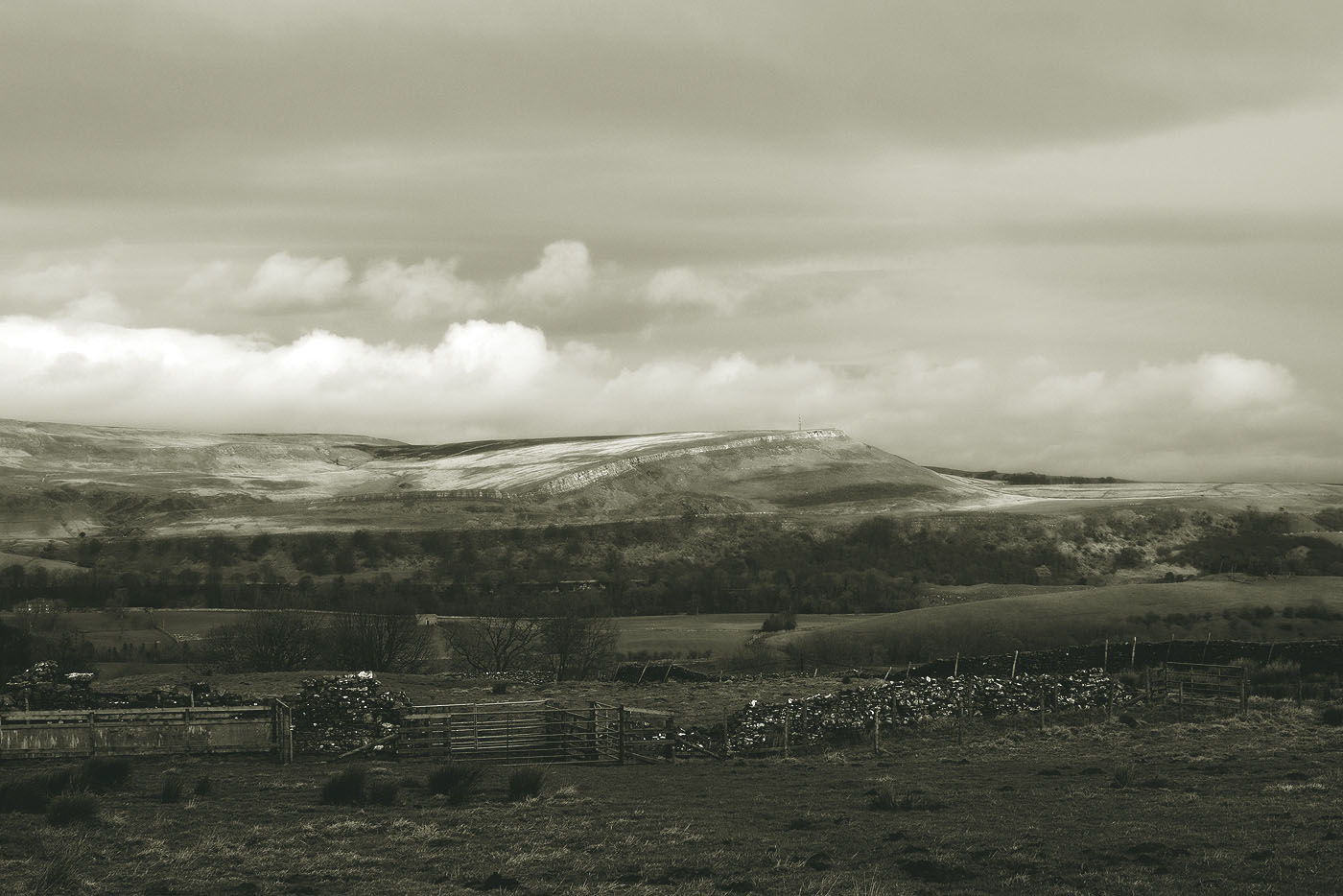
This monument should not be seen an an isolated site. The location of the monument in the wider landscape may give some clues to its purpose.
Sources
Map reproduced with the permission of the National Library of Scotland
Following the sacred Ure up through Wensleydale, I have a yearning to visit a henge.
I arrive at Thornton Rust and walk out into the empty upland pastures, everywhere is sodden.
Across the valley, Carperby Moor. Flint tools have been found here, the most northerly evidence of Palaeolithic hunter gathers in our islands. Beneath the great Yoredale scar is Ox Close with its ring cairns and stone circle.
Gill Beck, the beck is full, the stepping stones are nowhere to be seen. I walk across the swollen beck, my cheap boots offer no resistance to the icy water.
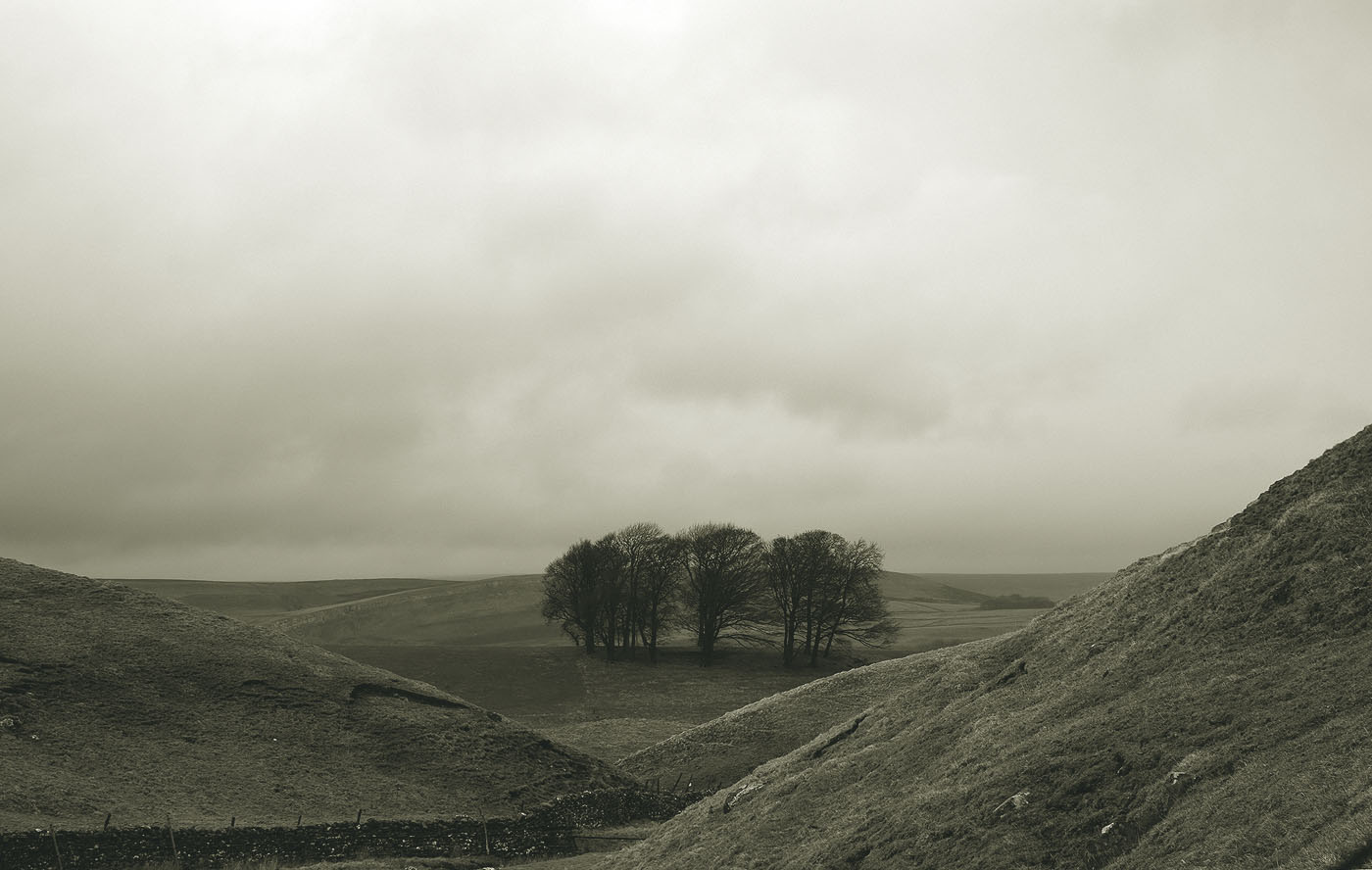
The Henge sits on a low ridge, the peak of Addlebrough, with its cup and ring marked cairn, is visible to the west.

To the east, Height of Hazely and the prehistoric settlement of Burton Moor.

Cold and wet I happily retrace my steps back to the village and then home.
 A small momento collected from a molehill at the entrance to the henge.
