I wrote this account of a walk I took to the source of the River Ure in 2005. It was first posted on Julian Cope’s The Modern Antiquarian website.
The River Ure rises in the Pennines and then heads east into Wensleydale, it then flows out of Wensleydale into the Vale of York. South of York the Ure is joined by the much smaller Ouse Gill Beck and the river’s name becomes the River Ouse, I’ve never figured that one out. The river then flows south east and merges with the Trent to form the River Humber, which then flows out into the North Sea.
What is significant about the River Ure is its association with a number of nationally important prehistoric sites. The Ure flows through Wensleydale, a Yorkshire Dale that has been occupied since at least the Late Upper Palaeolithic period. As the Ure flows through Yorkshire it is associated with at least 2 cursus, 7 henges, a stone row, numerous cairns, barrows, rock art sites, burned mounds and an assortment other prehistoric sites.
It is quite possible that during the Neolithic period, the River Ure was one of the ‘lines of communication’ between the Wolds culture of East Yorkshire and the Neolithic peoples of Cumbria. Evidence for this communication can be seen in the large numbers of Group VI stone axe blades found in East Yorkshire. The greatest concentration of Group VI axe blades occurs around the Humber estuary.

These axe blades all originated from the Great Langdale Axe production areas in Cumbria. Reciprocally there has been a significant amount of flint from the East Yorkshire coast found on a number of Cumbrian sites. There are also various other correlations between the prehistoric monument types and pottery found in both East Yorkshire and Cumbria but I’ll not detail them here in this brief summary.
 Langdale Axe Image Credit
Archaeologist Jan Harding speculates that the name ‘Ure’ derives from the Celtic word Isura, meaning ‘Holy One’. The source of the Ure captured my imagination mainly because of its location and proximity to the source of another great river that features in the prehistory of the North of England, the River Eden.
The Ure and the Eden rise within two kilometers of each other on the western edge of the Pennines. At their closest point, the two rivers pass within less than four hundred metres of each other. This means that it is theoretically possible to travel from the North Sea to the Irish Sea only walking on dry land for less than four hundred paces. I’m not suggesting that this was actually the case, where the rivers are at their closest they are merely becks. All I’m saying is that it is theoretically possible that our ancestors may have used the course of these two great rivers as a guide, a navigable route, between the east and west coasts of Britain.

Field notes
“In November days,
When vapours rolling down the valleys made
A lonely scene more lonesome”
Influence of Natural Objects by William Wordsworth
I drove down to the site via Brough and Kirby Stephen and then along the Mallerstang Valley. I parked the car in a convenient lay-by and took the footpath to How Beck Bridge and then on up to Green Bridge.
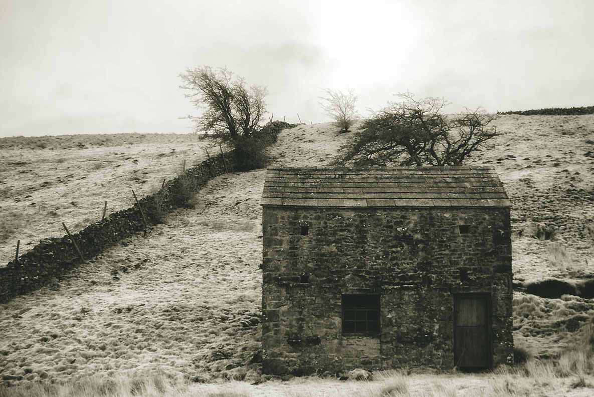
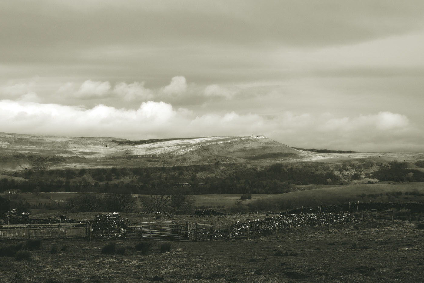
With the Howgill Fells forming one side of Mallerstang and the Pennines forming the other it is easy to see why Mallerstang probably receives more than its fair share of rain. On the day I went it was raining on and off all day, the becks were full to the brim, almost every rocky ledge on the fell had been transformed into a beautiful waterfall with the ground completely saturated. In other words, a typical upland Pennine scene. They say that the sheep around these parts have webbed feet.

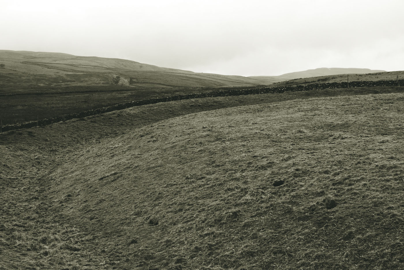
I left the path at How Bridge and followed the beck upstream. Its rough walking on the fells and involves a fair bit of bog-trotting and beck jumping, the peat on the moor side had been cut at regular intervals, presumably to aid drainage, so it was possible to follow the tracks of the vehicle that performed the peat cutting for much of the journey.
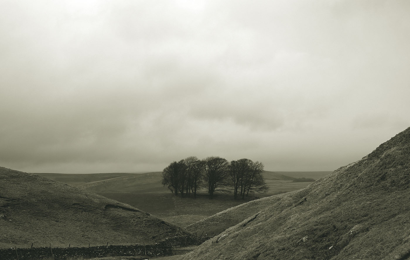
There is very little wildlife to be seen on these upland fells, a few ravens and the odd small bird, I guess the ground is too waterlogged for rabbits, but it is far from a silent wilderness, there is the sound of running water everywhere. The hike to the summit is one of those frustrating walks that presents you with two false summits to breach before you reach the fell top.
The Ure finally disappears into a flat bog on the summit of Lunds Fell. I was hoping that the source of the river would be a discernible feature such as spring but this wasn’t the case, the beck just petered out into a featureless boggy plain.
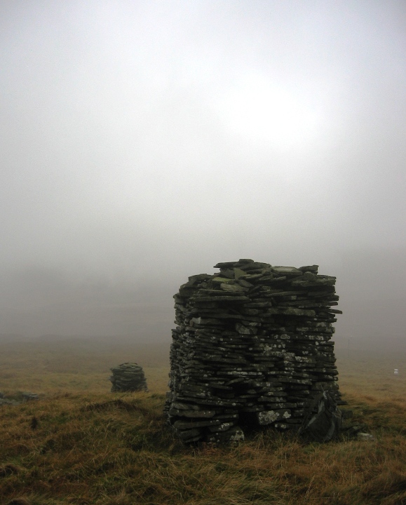
I sat and had a cup of coffee at the modern cairn on top of the fell, to the north I could see the Pillar marking the source of the Eden . I was just about to set off walking to the pillar when a storm blew across from Wild Boar Fell and I found myself in cloud. Not being familiar with the area, and not wanting to blunder into a bog I decided that I would call it a day and return home. I would leave the Eden for another day. As I’ve said before, it’s always nice to have something to come back for.
All in all I guess the source of the Ure is definitely ‘one for the enthusiast’ but if you want to get the general feel of the place you can drive along the Mallerstang valley and stop somewhere around SD778963. At this point, you’ll be straddling the county border, east meets west, watching the Eden flowing north into Cumbria and the Ure flowing south into Yorkshire.