Death and Remembrance

We needed a walk but didn’t want to travel far from home…Thunderbush Moor along the Whiteley Beck valley and then up to North Ings and the wonderful Bride Stones.

The trees planted in the valley are growing well. In a few years this will be a lovely broad leaf woodland

Someone has decorated a tree in memory of a lost friend. Amongst other things they have left a beautiful photograph, a joyful scene.

A painting has been added to the memorial to the two pals who lost their lives during the First World War

The heather is low on the edges of the prehistoric cairnfield, a trio of burial cairns poke through the peat beside the path.

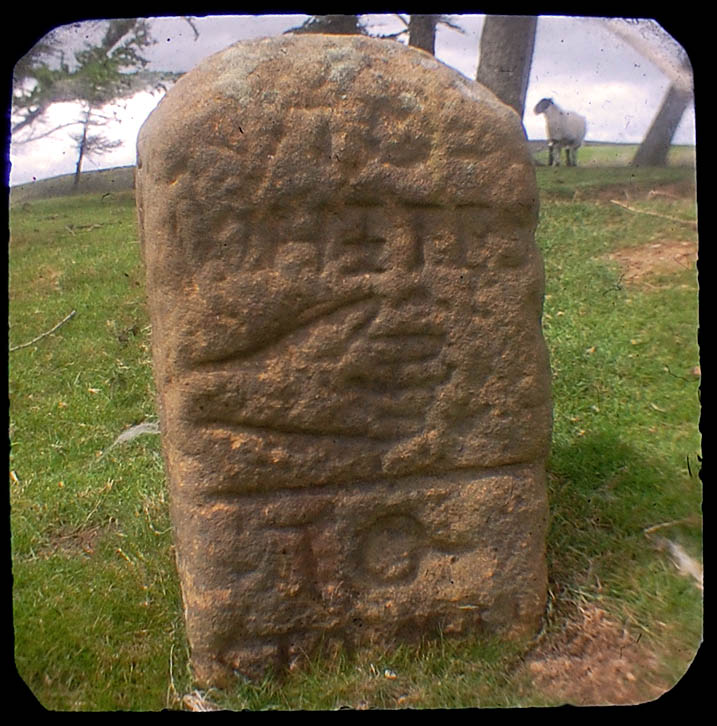
We follow the Bride Stones from the valley head onto Skelderskew Moor .

I wrote a post on the history of this short valley here https://teessidepsychogeography.wordpress.com/2014/06/08/stones-shakespeare-and-men-of-the-moors/

Chasing the Solstice Sun

On an overcast Solstice day, I go looking for one of Frank Elgees prehistoric settlement sites in the Commondale Beck valley

Limekilns are few and far between on the northern moorsOLYMPUS DIGITAL CAMERA

Tall solitary pines are also a rarity.

OLYMPUS DIGITAL CAMERA

Sunlight briefly breaks through, a moment of joy

OLYMPUS DIGITAL CAMERA

The sound of the train fills the valley

The settlement site sits on a terrace overlooking the Commondale Beck. Elgee found other sites on located on the same terrace on both sides of the river.

OLYMPUS DIGITAL CAMERA

An old hollow way leads to one of the many rocky outcrops on the valley side, a quarry for field walls and butts.

OLYMPUS DIGITAL CAMERA

Clouds are moving rapidly westwards across the moors, I catch a glimpse of the sun.

An alignment of grouse butts runs across the moor, tops covered with fresh turfs.

The moor is sodden, there is a possible alignment of standing stones on the moor top

OLYMPUS DIGITAL CAMERA

I return to the road, blue skies can be seen through a break in the clouds above the Kildale Gap, I head west.

OLYMPUS DIGITAL CAMERA

On the edge of the escarpment I encounter the sun, I drink tea and bask in its warmth.

White Cross

OLYMPUS DIGITAL CAMERA

White Cross survives as a base of local fine gritstone…The shaft is dressed in a chevron pattern indicating a post medieval date probably in the 19th century. The base is dateable to the medieval period. The east face of the base has the inscription – White Cross. Each face of the shaft is carved with a simple cross with equal arms 0.22m across. The east face has an OS bench mark cut near the ground. The cross has been whitewashed over the years according to the practice of the Downe Estate. The cross stands in its original position 2m from the edge of the old route from Castleton across Danby Low Moor. It also acts as a boundary marker for the medieval parishes of Danby and Commondale and now the county constituency of Cleveland and Whitby. The original shaft for this cross is in a museum at Whitby.

EXTRACT FROM ENGLISH HERITAGE’S RECORD OF SCHEDULED MONUMENTS

Cobble Hall Limekilns

Cobble Hall Limekilns

Prior to the development of modern fertilisers and crushed limestone, lime was in much demand to improve agricultural land. The lime was produced by burning (calcining) limestone in a kiln. There is very little workable limestone on the North York Moors, so lime was shipped across the moors from the Tabular Hills. Originally the lime was transported by panniermen using packhorses. Moorland coal was taken down to the kilns, in places such as Hutton-le-Hole and the processed lime was transported back to the northern moors. Once the railways arrived the pannier trade ceased.

Commondale was unique  in having a local, albeit poor quality, source of limestone, there was also a ready supply of coal from the nearby Danby coal pits.  The Cobble Hall or Moorside Limekilns were in use from 1800 to 1850.

Cobble Hall Limekilnsi