Blakey Ridge – The Honey Poke – Flat Howe – Esklets – Sweet Banks – South Flat Howe – Bimshaw – Blakey Gill Head
It was a fine day on the coast so I thought I’d take a walk onto the moors. As I climbed onto Castleton Rigg the wind picked-up and the skies started to darken. I decided to wander over to the head of Westerdale via Flat Howe and the remains of the Blakey colliery bell pits.

The moorland path starts at one of the most accessible of the moorland prehistoric standing stones, Margery Bradley. The view is to the south into Rosedale.
 The path is marked by small walker’s cairns and the occasional estate boundary stone. This one, marking the boundary of the Feversham Estate, has been broken for many years.

Moorland sands wash out from the peat and collect on the trackway.

Towards the head of the valley the remains of ancient trees are visible where the peat has eroded away.

Sediment profiles taken at nearby Esklets also provides a vegetation record from the late Mesolithic, showing a heavily wooded landscape dominated by alder and hazel, perhaps indicating low stature woodland, rather than oak forest.
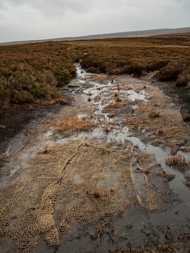
Netting made from natural fibres has been laid on the worst of the eroded areas, presumably to give the moorland grasses a foothold and try to limit the erosion of the peat.

The weather suddenly changes as a storm blows-in from the west. As the storm increases I decide to head back.

The storm has passed, I arrive back on Blakey Ridge close to the old road mender’s boundary stone.
Source North East Yorkshire Mesolithic Project Phase 2 Report by Mags Waughman
